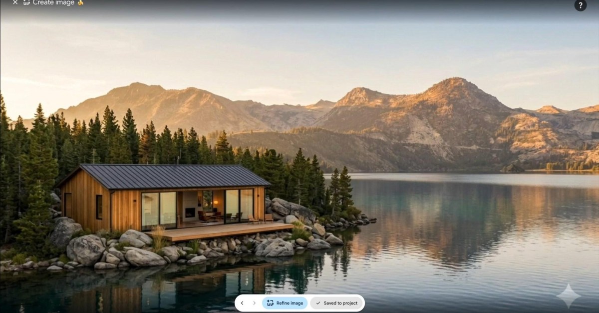
Google’s new Google Earth AI image generator lets web users alter satellite, aerial and 3D map imagery with a text prompt, and early examples from Henk van Ess of Digital Digging show why that is a problem for anyone trying to verify images from war zones, borders or disasters.
Van Ess published AI-edited Google Earth visuals depicting scenes such as “refugees near the Mexican border” and a bomb crater near a hospital in Gaza. The point was not subtle: a tool built into one of the world’s most familiar mapping products can produce flyover-style imagery that looks close enough to reality to travel before anyone checks the plumbing.
Google launched the feature globally on the web version of Google Earth this week. In a company blog post, Google presented it as a way to imagine historical sites and real estate projects. Some outputs are cartoonishly easy to reject, including an example that mixes the Sphinx with the Statue of Liberty. The harder case is the believable fake, especially when the subject is politically charged and the audience is moving fast.
What is the Google Earth AI image generator?
The feature uses Google’s Nano Banana image model inside Google Earth to modify location imagery from a prompt. That means the output can inherit the visual grammar of satellite and aerial photos, including terrain, buildings and overhead perspective, while showing objects or events that were generated rather than captured.
Google said in a post on X that it takes misinformation seriously and that images made with Nano Banana in Google Earth include SynthID, the company’s digital watermarking system for AI-generated media. Google said users who doubt an image can ask the Gemini app or use Lens in Search to check whether it was AI-generated.
That is the official safety rail. It also depends on people knowing a suspicious image should be checked, having access to the right tools and trusting the detection result. Digital watermarking can help identify provenance, but it is not the same thing as preventing a fake from being copied, cropped, compressed, reposted or laundered through another platform.
Van Ess also pointed to other verification steps: compare the image with other satellite services such as Sentinel-2 or Landsat, and check orbital details, including the claimed capture time and the satellite that supposedly recorded it. That is sensible open-source intelligence work. It is also more effort than a viral post usually receives before the damage is done.
Can Google Earth AI images be verified?
They can be checked, according to Google, through SynthID signals surfaced in Gemini or Lens. Van Ess recommends corroborating images against independent satellite platforms and orbital data, which is the less glamorous but more reliable habit: do not treat a single image, especially one from a generative tool, as self-authenticating evidence.
The weakness showed up quickly. Digital Digging said it was able to get Hive’s AI detector to miss an AI-altered video made from Google Earth. That does not prove every detector will fail on every output. It does show the usual problem with AI media detection: the attacker only needs one passable version, while viewers and platforms have to catch the bad ones at scale.
Google’s pitch is creative visualization. The abuse case is synthetic “evidence” that borrows the authority of map imagery. Putting those two things in the same interface may be convenient product design, but it leaves verification doing the cleanup after generation has already made the mess.
This story draws on original reporting from The Verge.