The 2026 El Nino forecast has shifted into rare territory: an analysis by Berkeley Earth climate scientist Zeke Hausfather says the Pacific event now developing could become the strongest El Niño in the reliable instrumental record. That matters because El Niño is one of the planet’s more effective weather-distribution machines, moving heat and rainfall patterns around the globe with no concern for crop calendars, fisheries or insurance models.
Hausfather’s analysis, published at The Climate Brink and discussed in a Berkeley Earth briefing, uses forecasts from 14 climate models through July. The work draws on 667 simulations and compares the developing event with major El Niño episodes recorded since 1877. It also separates the El Niño signal from the longer-term warming caused by fossil-fuel emissions, which is the sort of accounting you have to do if you want to compare old and new climate events without fooling yourself.
How strong could the 2026 El Niño get?
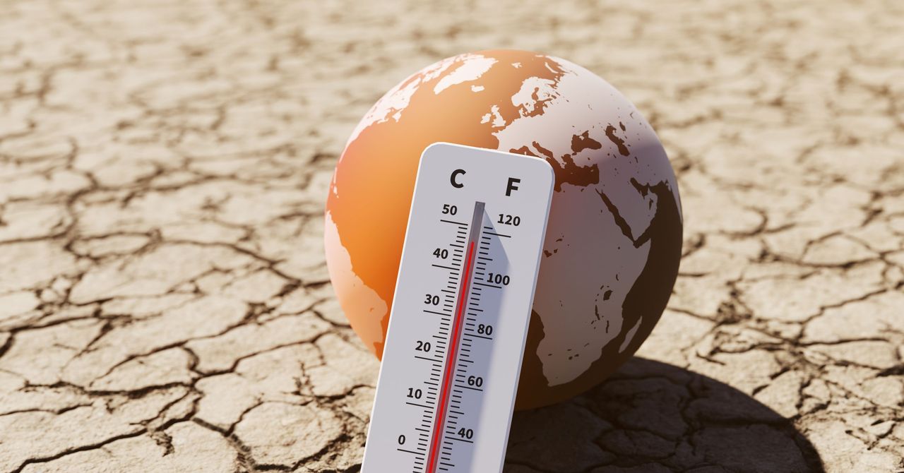
Climate researchers track El Niño strength partly through sea-surface temperatures in the Niño 3.4 region, a stretch of the central and eastern tropical Pacific. In Hausfather’s model average, that region peaks at 3.6 degrees Celsius, or 6.5 degrees Fahrenheit, above normal.
That would be about 0.8 degrees Celsius hotter than the previous record from the 2015 to 2016 El Niño, according to Hausfather. He noted that the difference between the strongest and fifth-strongest El Niño events over the past 150 years is only about 0.5 degrees Celsius, so a record broken by that much would be unusually large. Models do not get a medal for confidence, though. They are being asked to forecast an event without many good historical twins.
El Niño is a recurring climate pattern marked by warmer-than-usual water in the eastern tropical Pacific. That ocean heat changes atmospheric circulation, which can alter rainfall, drought and storm patterns far from the Pacific basin.
The developing event is also moving fast. Hausfather’s comparison found it is strengthening more quickly than the 1997 to 1998 super El Niño. It also differs from the 2015 event, which began after prior ocean warming was already in place. This time, the year began under La Niña conditions, the cooler counterpart to El Niño, so the system had farther to climb before reaching its current trajectory.
What could it mean for global temperatures and economies?
Hausfather’s projections suggest the full global temperature effect may land in 2027, because heat released during El Niño takes time to spread through the climate system. His analysis says global temperatures in 2027 could reach as much as 1.7 degrees Celsius above the preindustrial average, above the 1.5 degrees Celsius threshold often used as a benchmark for relatively safer warming.
Carbon Brief separately found that the chance of 2026 setting an annual heat record had risen to 35 percent as of July, up from 19 percent in April, as El Niño intensified. Some effects are already showing up in the eastern Pacific, where fisheries have reported lower catches and Peru imposed a spring ban on anchovy fishing, according to the reporting cited by WIRED.
The economic stakes are ugly. At the Berkeley Earth briefing, researchers discussed work by Dartmouth College climate scientist Justin Mankin, whose study found that the 1997 to 1998 El Niño reduced global economic growth by about $5.7 trillion in subsequent years. If current projections hold, the unfolding event could produce cumulative losses of roughly $10 trillion by 2032, according to that analysis.
The caveat is basic but serious: forecasting an event beyond observed precedent is hard because climate models are trained and tested against the past. Hausfather said the models are clustering around the 3.6 degrees Celsius average, which gives forecasters more reason to take the signal seriously. It still remains a forecast, and the Pacific has not signed the paperwork yet.
This story draws on original reporting from WIRED.