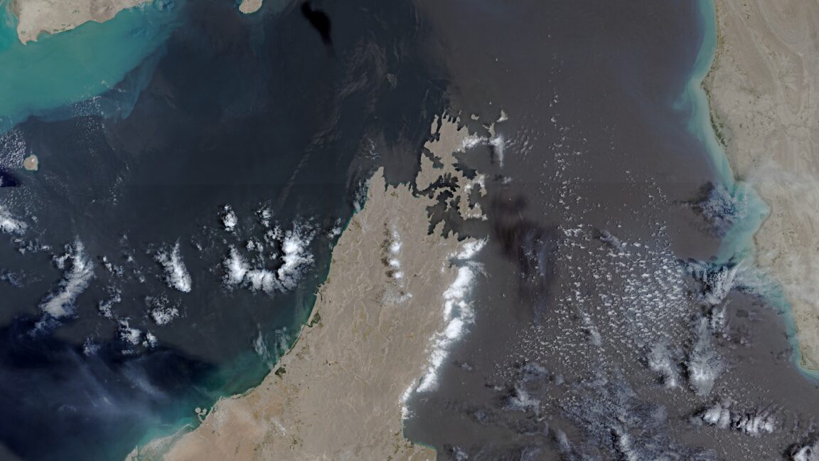
The European Union has imposed a Copernicus satellite imagery delay for parts of the Gulf of Oman, holding back some images of shipping routes around the Strait of Hormuz for 24 hours after a request from the US government.
Space News first reported the change after reviewing a Council of the EU decision dated July 13. The order covers imagery from the Sentinel-1 and Sentinel-2 satellites, part of Europe’s Copernicus Earth observation program, and applies to an area that includes shipping lanes into and out of the Strait of Hormuz.
The move is a rare limit on a program built around free and open access to Earth observation data. The US government made the request on May 26, according to the Council decision reviewed by Space News.
Why is Copernicus satellite imagery delayed near the Strait of Hormuz?
The delay restricts how quickly the public can see new satellite images from a strategically sensitive war zone. It is not a blackout: the affected Copernicus images are still released, but one day later than they otherwise would be.
The timing is not subtle. The request came during a ceasefire period in the Iran war that began April 8. That ceasefire ended July 8, when the US military resumed a broader strike campaign after an announcement by President Donald Trump.
The war began Feb. 28 with US and Israeli attacks on Iran. Satellite data has since become part of the conflict’s plumbing. US military and intelligence agencies have used American satellite systems to track Iranian activity, while The Economist reported that Iran has relied on Chinese satellite imagery to support attacks on US bases and other targets.
Who loses access first?
Journalists, researchers and open source intelligence groups are the most immediate losers, measured in time rather than total access. A 24-hour lag can matter when analysts are trying to verify strikes, damage to ports or bases, or disruption around a choke point for global energy shipments.
US commercial satellite companies have already pulled back harder. Reuters reported that Planet Labs and Vantor restricted imagery connected to the Iran war after the US government raised security concerns. That made Copernicus and European commercial providers more important for public verification.
Copernicus data has been used in several investigations of the war. Bellingcat released a tool using Sentinel-1 imagery to help map possible damage in Iran and the Gulf region. The New York Times and The Washington Post have also used Copernicus imagery to examine reported damage to US bases and radar sites from Iranian missile and drone attacks.
Those checks have become more valuable as official information has tightened. The New York Times has reported that the Pentagon under Trump has grown less willing to disclose details about US casualties and damage to military equipment during the war.
The Strait of Hormuz is not a random patch of sea. Fighting and disruption around its shipping lanes have contributed to a global energy shock, according to CNBC. The war has killed thousands of people, according to public casualty tallies cited in coverage of the conflict, and The New York Times reported that it has already cost the United States more than $37 billion, with Defense Secretary Pete Hegseth seeking another $70 billion.
The EU’s restriction leaves Copernicus more open than many US commercial feeds. It also makes independent verification slower at the exact moment governments have strong incentives to control what the public can see.
This story draws on original reporting from Ars Technica.