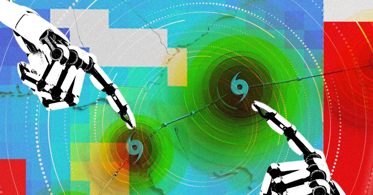
Google DeepMind’s deepmind hurricane forecast claim comes with a useful number and a necessary asterisk. In reported comparisons, its WeatherNext system produced cyclone forecasts three days ahead that matched the accuracy other current systems reached two days ahead, according to reporting on a Nature paper. That is roughly an extra day of forecast skill on average, not evidence that it beats every rival in every storm or every forecasting measure.
The comparison covered a cyclone’s expected position and maximum wind speed, New Scientist reported. WeatherNext was tested against Google’s GenCast, the European Centre for Medium-Range Weather Forecasts’ ENS model and NOAA’s Hurricane Analysis and Forecast System. The reported result is consequential because warnings, evacuation planning and staging emergency resources depend heavily on how early forecasters can narrow the likely track and strength of a storm.
What does one extra day of hurricane forecast skill mean?
It means a WeatherNext prediction made three days before a cyclone’s arrival performed about as well, in the reported evaluation, as other models’ prediction made two days before. It does not mean an automatic extra day of official warning. The National Hurricane Center’s forecasts remain human-produced assessments that weigh multiple models and other evidence.
NOAA says the National Hurricane Center tested new AI weather-prediction tools with partners before using them in operational decisions during the 2025 season. As forecasters gained experience, the center began incorporating AI systems as guidance alongside its other tools. NHC says its collaboration with Google DeepMind produced a hurricane model used experimentally that season; it also assessed AI-driven global systems from NOAA’s Environmental Modeling Center and ECMWF.
That workflow is the part that tends to get buried beneath the AI victory lap. WeatherNext is forecast guidance, not a replacement button for meteorologists or an automated public-alert system.
Why hurricane intensity is hard to forecast
A hurricane forecast has two linked but distinct jobs. Its track depends on broad weather patterns, including prevailing winds and fronts. Intensity depends more on local atmospheric and ocean conditions. Kate Musgrave, who leads a tropical-cyclone group at the Cooperative Institute for Research in the Atmosphere and coauthored the paper, told Wired that earlier AI systems had done better on track than intensity.
WeatherNext learns statistical relationships among weather variables from historical data. NOAA describes current AI weather-prediction models as trained on long-running global reanalysis datasets containing observations over decades, learning links among variables such as pressure, wind and temperature to estimate a future atmosphere.
DeepMind research scientist Ferran Alet told Wired the team trained WeatherNext on broad weather data as well as cyclone data, because individual storms are comparatively scarce in the historical record. That scarcity also supplies a reason for caution: rare, unusual events offer fewer close training examples. Oxford’s Tim Palmer told New Scientist that models trained on historical data need stronger testing on anomalous events that have no analogue in their training set.
Hurricane Melissa offers a notable operational example, not a universal proof. Wired reported that five days before the 2025 landfall, WeatherNext assigned an 80% probability that the system would strike Jamaica as a Category 5 hurricane. Researchers also told Wired they do not fully understand why the model can produce strong intensity forecasts from relatively low-resolution atmospheric inputs. A model that works is useful; a model whose failure modes remain unclear still needs experienced forecasters in the loop.
For now, NHC’s own account is the sensible framing: AI is joining the forecast desk’s crowded toolbox, where it must be verified, compared and handled alongside conventional models rather than crowned by a benchmark headline.
This story draws on original reporting from WIRED.